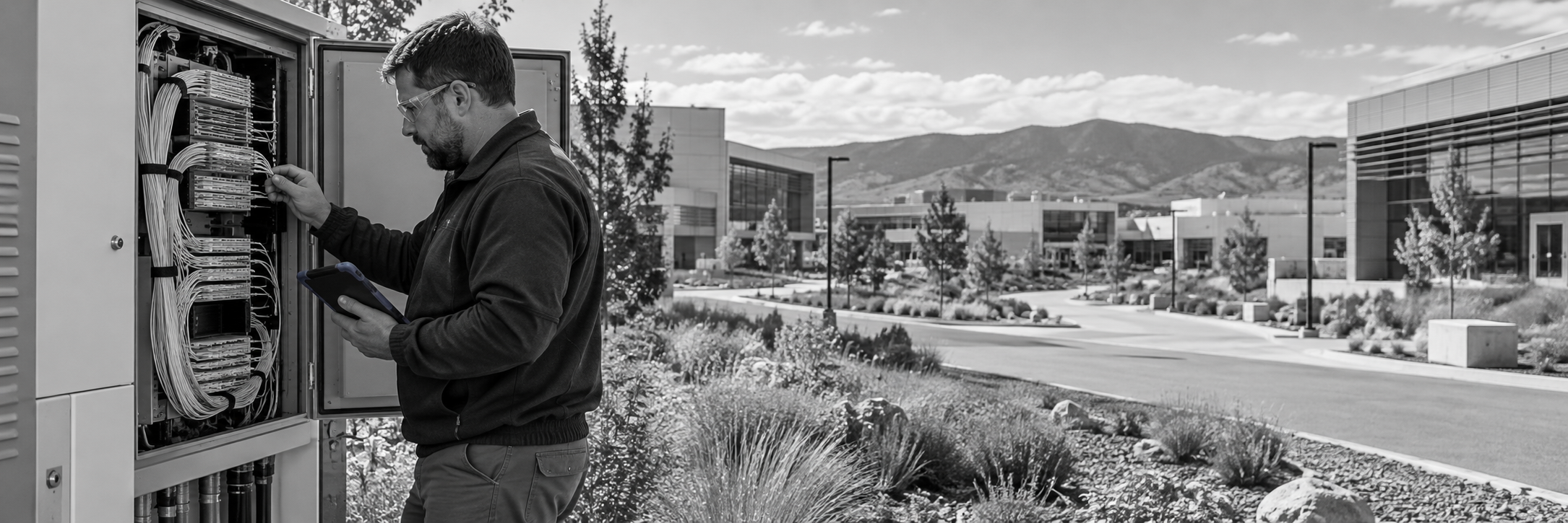
Your Fiber Map Shows the Route. Can Your Team Trace the Connection?
Five practical questions for DOE and laboratory teams planning changes to campus fiber
Consider a routine request: a laboratory needs connectivity for a new project. The campus map shows fiber between the buildings. The route appears to be there.
Before the team can plan the connection, someone needs to establish which strands are available, where they are spliced and which panel and port they reach.
That answer may involve a GIS layer, an old drawing, a spreadsheet and a call to the person who remembers the last change.
The project starts with a connectivity requirement. It turns into a search for infrastructure information.
For teams operating DOE and laboratory networks, this is a useful place to examine documentation. A mapped route is valuable. Day-to-day work also depends on understanding the assets and connections along that route, and keeping those records current as the environment changes.
The FY2026 Science Laboratories Infrastructure request describes almost 1,600 government-owned buildings and trailers across 10 Office of Science national laboratories.
Whether your team works for the government or the organization operating a laboratory, these five questions can help identify where the record needs to become more useful.
1. Can You Trace the Connection Between Buildings?
Start with a connection your team might need to inspect, extend or change.
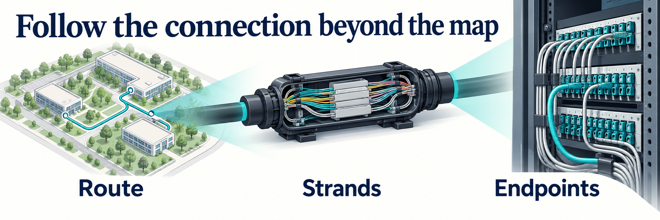
Can someone follow its documented path between buildings, including the relevant cable, strands and splice points? Can they identify where to look when part of that path needs confirmation?
If the map shows a line between facilities but the connection details live elsewhere, the team still has work to do before it can evaluate a change.
Useful records connect the geographic view to the physical infrastructure. A conduit contains a cable. That cable contains strands. Splices and terminations establish how those strands connect. Each relationship answers a different question about the path.
Try this: choose one existing connection and ask a colleague to trace it using the records available today. Where do they have to stop and ask someone?
That stopping point gives you a concrete documentation gap to address.
2. Can You Find Capacity Where the Next Project Needs It?
A new building, instrument or network expansion creates a specific question: what connectivity can the team use between these locations?
A cable inventory is a starting point. Planning also requires strand status, the connections along the proposed path and any recorded assignments or reservations relevant to the work.
Capacity needs to make sense across the path under consideration. A spare strand in one segment does not, by itself, establish an available connection between the required endpoints.
When those details are difficult to find, the team may need another record review or field check before it can make a planning decision.
Try this: identify the endpoints of an upcoming project. Can the team use its current records to investigate an available path—and see what still needs verification?
The objective is to make the evidence behind the capacity decision visible.
3. Can You Follow the Fiber Inside the Building?
The outside-plant record may reach the building entrance. The work may continue through an equipment room, patch panel and port before reaching the equipment involved.
If those indoor details belong to a different set of records, the team needs a reliable way to connect them to the outside route.
Consider a planned change at a patch panel. The technician needs to identify the correct port and understand its documented relationship to the wider connection. The planning team may need that same relationship when deciding what to inspect before the work begins.
Useful documentation lets the reader move from the campus view into the relevant room, rack, panel and connection details.
Try this: begin with a fiber route entering a building. Can someone find its documented termination and the equipment connection that follows?
Keep track of every point where the record requires a separate search or an unexplained handoff.
4. How Much Reconciliation Comes Before an Answer?
Existing GIS data, drawings, spreadsheets and photographs can contain valuable information. The difficulty is knowing how those sources fit together and which details reflect the current environment.
One project may have updated the route drawing. Another may have changed a termination. A spreadsheet may contain the new assignment while the drawing still shows the previous connection.
If each infrastructure question begins with comparing those sources, reconciliation has become part of the operating workload.
Bringing records into a shared model can help, but importing a file is only a starting point. The team still needs to resolve conflicting identifiers, validate relationships and decide how later changes will be recorded.
Try this: for one recent change, locate the updated route, strand and termination information. Can a colleague identify the current record without reconstructing the project?
5. Can the Next Person Use What the Current Expert Knows?
Experienced employees and contractors often know why a route was chosen, where an unusual connection leads or which drawing needs to be treated cautiously.
That knowledge helps the team every day. It also identifies information worth capturing before a retirement, role change or contract transition makes access more difficult.
Putting the existing files in one location may leave those explanations missing. A useful record needs enough context for another person to understand the infrastructure and recognize where a detail remains uncertain.
Notre Dame’s published campus fiber case study describes a related problem: printed records and staff knowledge did not reliably provide the connector and strand details the team needed. netTerrain helped retain that knowledge and make it available to new colleagues.
Try this: ask an experienced colleague to walk through a connection with someone newer to the environment. What do they explain that the documentation does not?
Capture those explanations alongside the relevant assets and connections. Assign responsibility for maintaining the record as the network changes.
Build a Record the Team Can Work From
These questions provide a practical starting point for a documentation discussion. Choose a connection, investigate its capacity, follow it through the building and identify the information that still depends on a separate file or a particular person.
netTerrain brings network, data center and outside-plant documentation into a visual infrastructure platform. Its OSP capabilities include geographic mapping, fiber and strand information, circuit tracing, capacity visibility and inside-plant connections. Spreadsheet and KML/KMZ imports can provide a starting point for existing information.
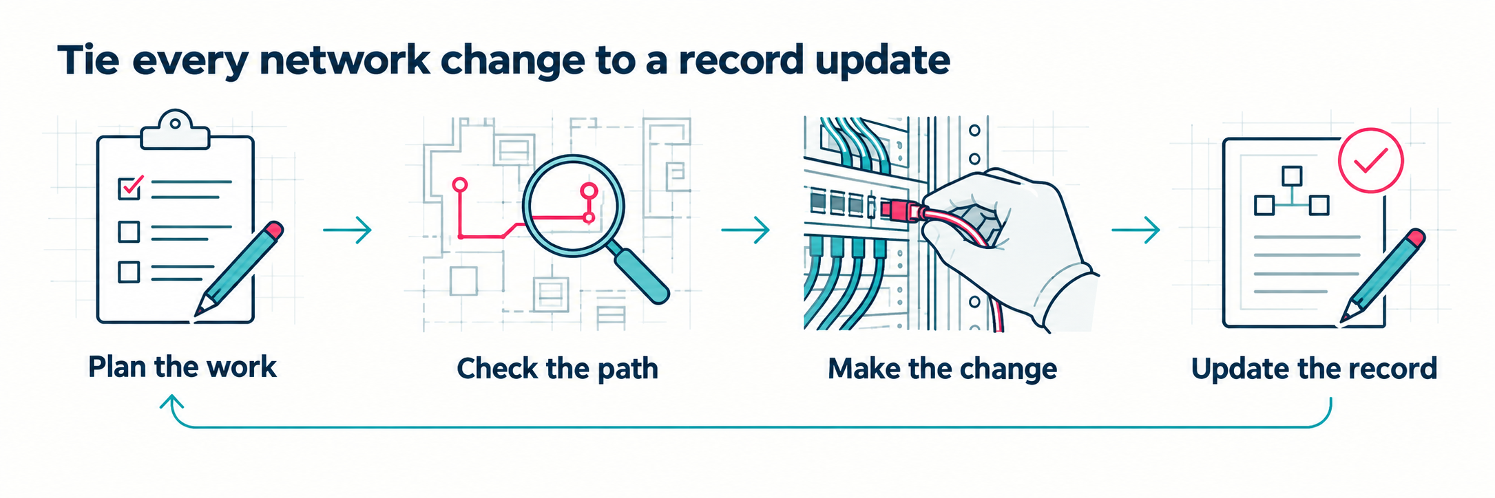
The value depends on building and maintaining records your team can use. That includes validating the data and establishing who updates it after installations, moves and connection changes.
The working record should reflect the current, validated state of the infrastructure, with planned changes and retired assets clearly distinguished.
Bring one real documentation question to the conversation: a path you need to trace, capacity you need to understand or a set of records you need to connect.
Graphical Networks can show you how netTerrain could support that work, using your environment and requirements to guide the discussion.
