Municipalities play a critical role in ensuring smooth operations within their communities — from managing communication networks to essential services like fire and police stations. With technology rapidly advancing, the demand for fiber, and demands on the folks who manage fiber, have never been greater. If you manage municipal fiber, hats off to you: your job’s both critically important and quite complex.
Fiber mapping software, like netTerrain, makes it easier for municipalities to manage their fiber networks. With street-to-strand views and real-time access to network information, you can run reports on your network, understand connections and locations, take a look inside splice boxes from your computer, and quickly solve issues.
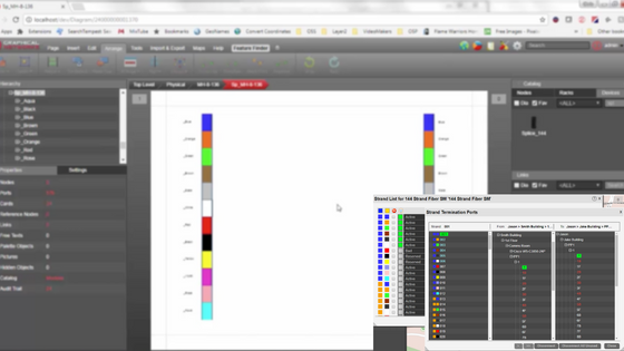
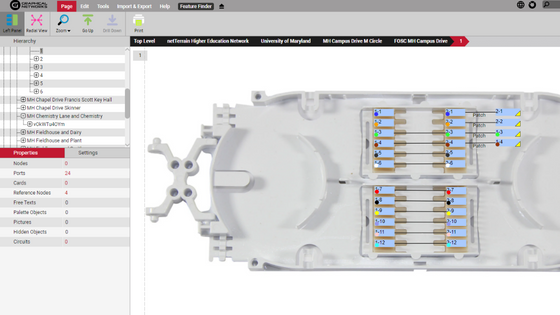 With fiber mapping software like netTerrain, you can easily see inside splice boxes without having to leave the office
Say goodbye to manual inspections (aka no more walking miles of fiber), driving to remote sites, and patching together fragmented information from spreadsheets and Google Earth. With software like netTerrain, tracking all your community’s infrastructure and cabling systems becomes a whole lot more manageable and straightforward. Stop the guessing game and start to optimize and manage your fiber plant capacity better with netTerrain OSP. You can easily run circuit path reports, trace routes, and find available paths in seconds.
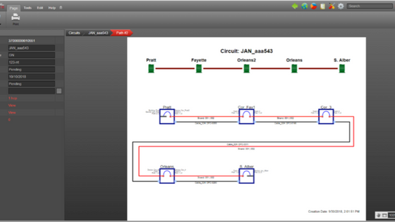 Circuit management and design is so easy it’s fun with netTerrain
netTerrain also helps you manage your inside plant, if wanted/needed— so you get a comprehensive view of your physical infrastructure, including city-owned buildings, facilities, and equipment. From documenting where your main fiber cable terminates inside the building, to managing and planning conduits between floors, all of the cabling in and between telecom rooms, office and data center rooms, and down to each wall jack if desired. For example, in a university dorm, E911 service is essential tracking where the call is coming from which wall jack. Plan ahead, determine necessary equipment, and avoid unnecessary costs.
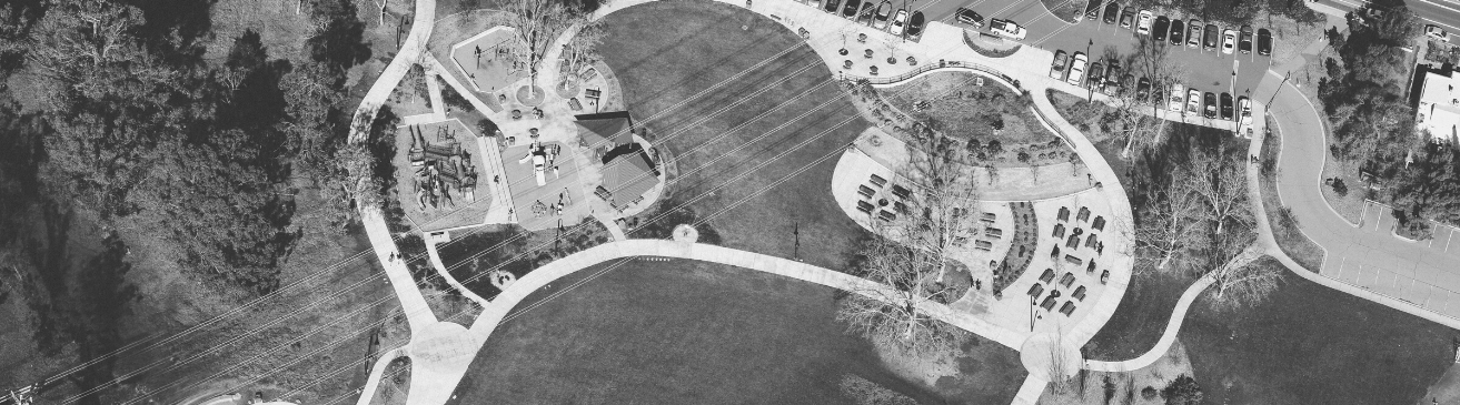
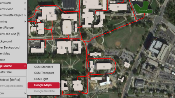 Get views of your entire infrastructure – from the global and street levels (above) to the strand levels (below)
As the demand for fiber only continues to grow, having a user-friendly way to see inside your fiber plant, from street-to-strand, helps keep operations running smoothly and provide the best possible service to communities.
Why Use Fiber Mapping Software?
- Simplify your outside plant management
- Map exact locations and distances
- Streamline your circuit design and management
- Visualize any network or transport layer
- Manage your inside plant assets
- Import data instantly from multiple sources (KML, KMZ, spreadsheets, Visio)
Software like netTerrain gives municipalities the views and insights they need to manage their fiber networks efficiently and effectively: quickly resolve issues and plan for future growth. With its advanced features and capabilities, fiber management software is a must-have for municipalities looking to simplify their fiber management processes and respond more quickly to issues. Want to see for yourself how netTerrain can help you better understand your fiber infrastructure? Click here for a 14-day trial!